Bathymetric Lidar Market Size Share and Trends Analysis by Type, Application, Industry, and Region - Global forecast to 2029
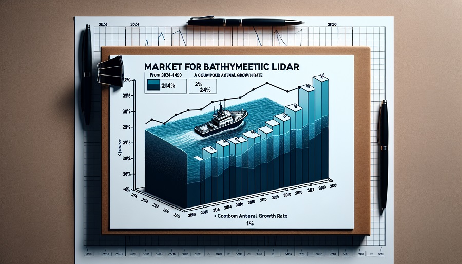
The bathymetric LiDAR market is expected to witness significant growth from 2024 to 2029, with a projected Compound Annual Growth Rate (CAGR) of 14%. Bathymetric LiDAR (Light Detection and Ranging) is increasingly being used for mapping underwater terrain, providing critical data for coastal management, underwater exploration, and environmental monitoring. The market is driven by rising demand for precise seafloor mapping, increasing maritime activities, and advancements in LiDAR technology.

Key sectors fueling the market's growth include coastal management, defense, oil and gas, and renewable energy industries, which require highly accurate underwater data. Technological advancements such as the integration of AI, cloud-based analysis, and drone-based LiDAR systems are expected to further accelerate market expansion. The report highlights emerging trends, growth factors, competitive landscape, and future prospects of the bathymetric LiDAR market.
Market Drivers
Growing Demand for Coastal Mapping and Monitoring
Bathymetric LiDAR systems are increasingly being adopted for detailed mapping of coastal regions. Governments and environmental organizations rely on these technologies for understanding coastal erosion, flood risks, and climate change impacts. These systems provide more precise data than traditional sonar or satellite imagery, making them essential tools for disaster preparedness and coastal zone management.
Rising Maritime and Offshore Activities
As maritime industries such as offshore oil and gas exploration and underwater infrastructure development expand, the need for accurate bathymetric data has become more critical. Bathymetric LiDAR provides high-resolution underwater terrain models, which are vital for constructing ports, pipelines, wind farms, and other marine infrastructure.
Technological Advancements
Advances in LiDAR technology, such as the development of multispectral LiDAR systems and drone-based bathymetric solutions, are expanding the potential applications of this technology. These advancements make bathymetric LiDAR more versatile, easier to deploy, and capable of generating even more detailed data.
Growing Use in Defense and Surveillance
Defense organizations increasingly utilize bathymetric LiDAR for underwater mapping and naval surveillance. It helps in the detection of underwater threats, mine detection, and provides essential data for strategic naval operations. The growing defense budgets in key regions like North America and Europe further drive demand in this sector.
Challenges and Opportunities: Navigating the Depths
While the bathymetric lidar market presents numerous opportunities, it also faces several challenges that must be addressed to ensure continued growth and adoption:
Environmental and Operational Limitations
Factors such as water turbidity, wave conditions, and atmospheric conditions can impact the performance and accuracy of bathymetric lidar systems. Overcoming these limitations through technological advancements and operational strategies is crucial for expanding the applications of this technology.
Data Integration and Interoperability
Integrating bathymetric lidar data with other geospatial datasets and ensuring interoperability across different software platforms and systems remains a challenge. Standardization efforts and the development of robust data integration frameworks are necessary to unlock the full potential of this technology.
Cost and Resource Considerations
While bathymetric lidar offers cost-effective solutions compared to traditional surveying methods, the initial investment in equipment and personnel training can be substantial. Addressing these cost considerations and demonstrating the long-term benefits of the technology will be essential for wider adoption, particularly in emerging markets.
Regulatory and Policy Frameworks
The lack of standardized regulations and policies governing the acquisition and use of bathymetric lidar data can create challenges for cross-border operations and data sharing. Collaboration among stakeholders, including government agencies and industry players, is crucial for establishing clear guidelines and facilitating the seamless exchange of data.
Despite these challenges, the bathymetric lidar market presents numerous opportunities for innovation, collaboration, and growth. As the demand for accurate and comprehensive coastal and underwater mapping continues to rise, this technology is poised to play a pivotal role in shaping our understanding and management of these vital environments.
Market Segmentation
By Type
- Airborne LiDAR Systems: Airborne systems are the most common form of bathymetric LiDAR, typically mounted on aircraft or drones to survey large areas of shallow waters. These systems are frequently used in coastal zone mapping, environmental monitoring, and defense surveillance.
- Terrestrial/Marine-based Systems: Mounted on boats or other marine vehicles, these systems are used for near-shore mapping and small-scale underwater terrain surveys. They are especially useful in harbors, ports, and for mapping riverbeds.
By Application
- Coastal Management and Environmental Monitoring: Bathymetric LiDAR is used extensively for assessing coastal erosion, flood risks, and understanding marine ecosystems. It is critical for studying climate change impacts on coastal regions and for designing flood defense mechanisms.
- Defense and Naval Applications: Military organizations use LiDAR technology for mine detection, underwater threat identification, and naval surveillance. It also provides crucial intelligence for planning naval operations.
- Infrastructure Development: Bathymetric LiDAR plays a key role in offshore infrastructure development, including the construction of underwater pipelines, offshore wind farms, and port development.
- Hydrographic Surveying: Used to create detailed maps of riverbeds, seabeds, and underwater structures, hydrographic surveying is essential for navigation, harbor management, and environmental studies.
By Region
- North America: The largest market for bathymetric LiDAR, driven by strong demand for coastal zone management, environmental monitoring, and defense applications. The U.S. government’s focus on mapping coastal erosion and disaster preparedness has fueled growth in this region.
- Europe: Growth in Europe is driven by environmental initiatives and investments in offshore renewable energy projects, particularly in countries like Germany, the UK, and France.
- Asia-Pacific: This region is witnessing the fastest growth, fueled by rising offshore exploration activities and coastal management programs, particularly in China, Japan, and Southeast Asia.
- Rest of the World: Countries in the Middle East and Africa are increasingly adopting bathymetric LiDAR for managing marine resources, developing port infrastructure, and enhancing environmental protection programs.
Competitive Landscape
The bathymetric LiDAR market is relatively consolidated, with several key players holding a significant share of the market. These companies are focusing on technological innovations, strategic partnerships, and expanding their market presence globally.
Key Market Players
-
Teledyne Optech
- Overview: Teledyne Optech is a leading provider of advanced LiDAR systems, including both terrestrial and airborne bathymetric LiDAR solutions. The company’s sensors are widely used for coastal management, hydrographic surveys, and defense applications.
- Strengths: Known for its high-precision LiDAR sensors and innovation in bathymetric technology. The company also offers multi-sensor solutions for enhanced data collection and analysis.
-
Leica Geosystems (Hexagon)
- Overview: A global leader in measurement technologies, Leica Geosystems provides airborne LiDAR systems that are widely used for coastal surveys and environmental monitoring.
- Strengths: Leica’s systems are known for their accuracy, reliability, and ability to capture large volumes of data quickly. They also offer software solutions for data processing and visualization.
-
RIEGL Laser Measurement Systems
- Overview: RIEGL is a prominent player in the LiDAR market, offering airborne, terrestrial, and marine-based LiDAR systems. Their bathymetric solutions are widely used in hydrographic surveying and coastal zone mapping.
- Strengths: RIEGL’s bathymetric LiDAR solutions are highly customizable and feature advanced waveform processing, making them suitable for a range of applications, from environmental monitoring to defense.
-
Velodyne LiDAR
- Overview: While Velodyne is more commonly known for its automotive LiDAR systems, the company has also entered the bathymetric LiDAR space, providing sensors for use in maritime applications.
- Strengths: Velodyne is known for its innovations in sensor technology, focusing on high-resolution and compact LiDAR systems suitable for drone-based bathymetric surveys.
-
Airborne Hydrography AB (AHAB)
- Overview: A leading company specializing in airborne bathymetric LiDAR, AHAB focuses on providing solutions for shallow water mapping, coastal zone management, and environmental monitoring.
- Strengths: The company’s LiDAR systems are known for their high accuracy and ability to capture both topographic and bathymetric data simultaneously, making them ideal for integrated coastal mapping solutions.
Strategic Initiatives
- Technological Innovation: Companies are heavily investing in R&D to improve the accuracy, depth penetration, and operational efficiency of their bathymetric LiDAR systems. Advances in AI-based data processing and multispectral sensors are some areas of innovation.
- Partnerships and Collaborations: To expand market reach and enhance product offerings, companies are entering into strategic partnerships with governments, environmental agencies, and other organizations.
- Focus on Drone-based LiDAR: Several companies are exploring the use of drone-mounted bathymetric LiDAR systems for more flexible, cost-effective, and scalable surveying solutions. These systems can be deployed in remote or hard-to-access areas, making them ideal for certain applications.
Market Trends
Integration of AI and Cloud-based Analysis
The integration of AI and cloud computing in bathymetric LiDAR systems is revolutionizing data processing, making it easier to analyze large datasets quickly and accurately. AI algorithms are being used to automate the detection of underwater features, such as shipwrecks or coral reefs, and cloud platforms enable users to access and process data remotely.
Use of Drone-mounted LiDAR Systems
The growing use of drones for bathymetric surveys is a significant trend. Drones offer cost advantages, flexibility, and the ability to survey hard-to-reach or shallow water areas that may be inaccessible by traditional survey methods.
Focus on Renewable Energy Projects
The rise in offshore renewable energy projects, such as wind farms, is creating demand for accurate underwater mapping. Bathymetric LiDAR plays a key role in these projects by providing detailed seafloor data necessary for the planning and construction of offshore infrastructure.


Growth opportunities and latent adjacency in Bathymetric Lidar Market